|
|
|
|
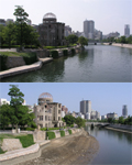
We moved our house to the downtown Hiroshima on April 2004. Hiroshima city is situated on the delta at the end of the Ohta-gawa river. Since there in almost no height difference in the delta, the water level varies largely by the tide of the Setonaikai inland sea. The difference of water level is four meters at maximum. The tide was utilised for twice-a-day boat traffic by carrying boats upstream at the flood tide and downstream at the ebb tide in ancient days. The tide diffrence of the river in Hiroshima is introduced on this page with photos taken when the tide difference is the largest at the beginning of July 2004. Floating lantern ceremony on the A-bomb memorial day, Aug. 6, is also introduced. * Click a photo to enlarge.
Temmagawa river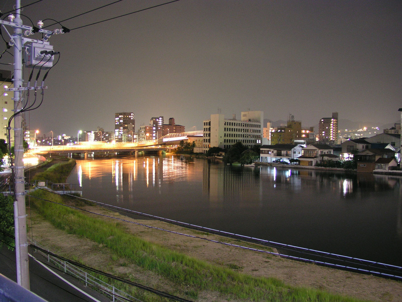
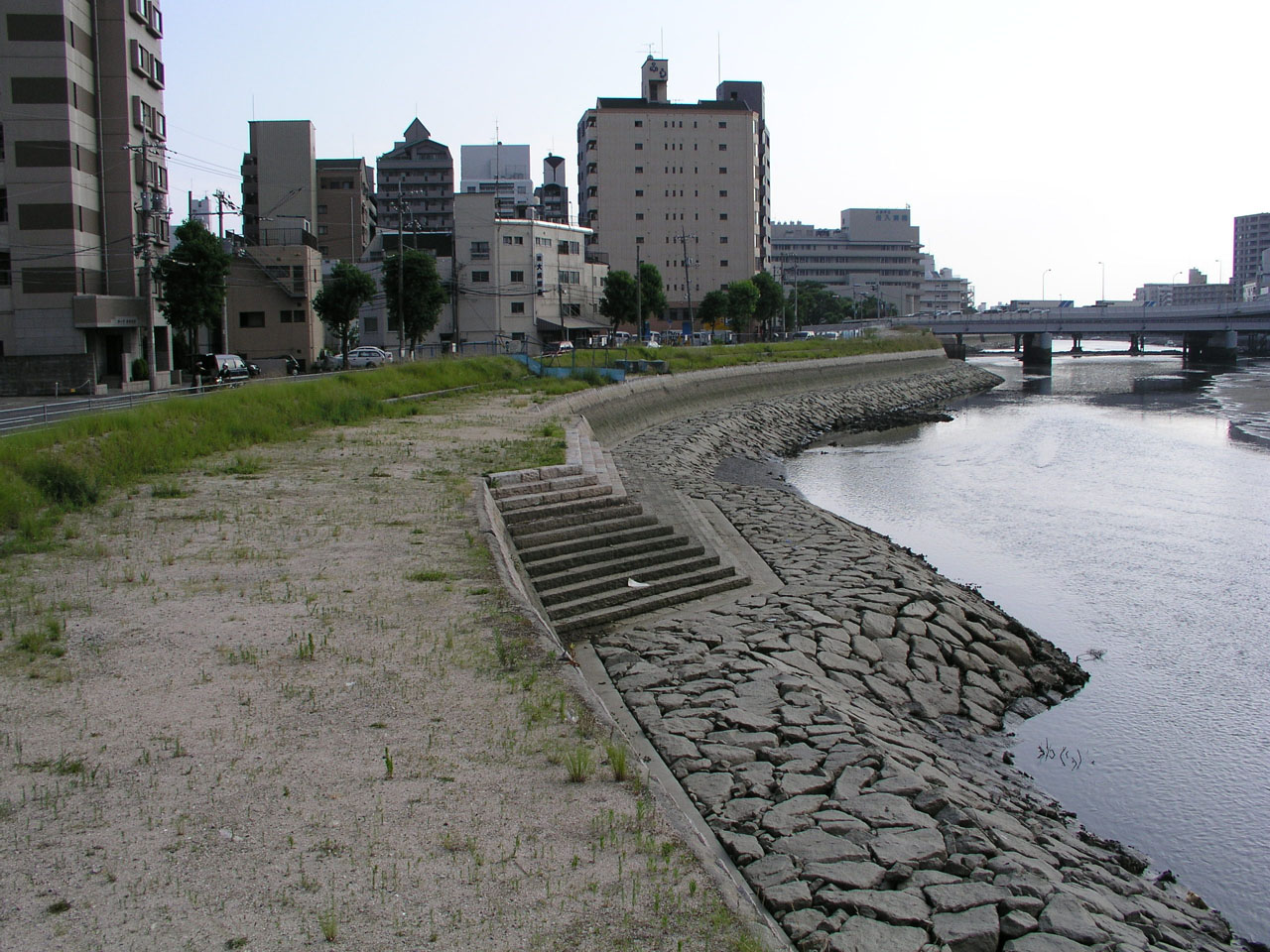
The photos were taken toward the river mouth, Shin-Kan'on-bashi bridge (front), and Kan'on-bashi bridge (back), from the point at 3.8 km from the mouth, near our house. At the flood tide, the water level is approaching to the upper edge of the bank, which is sandbaged, on the other side. 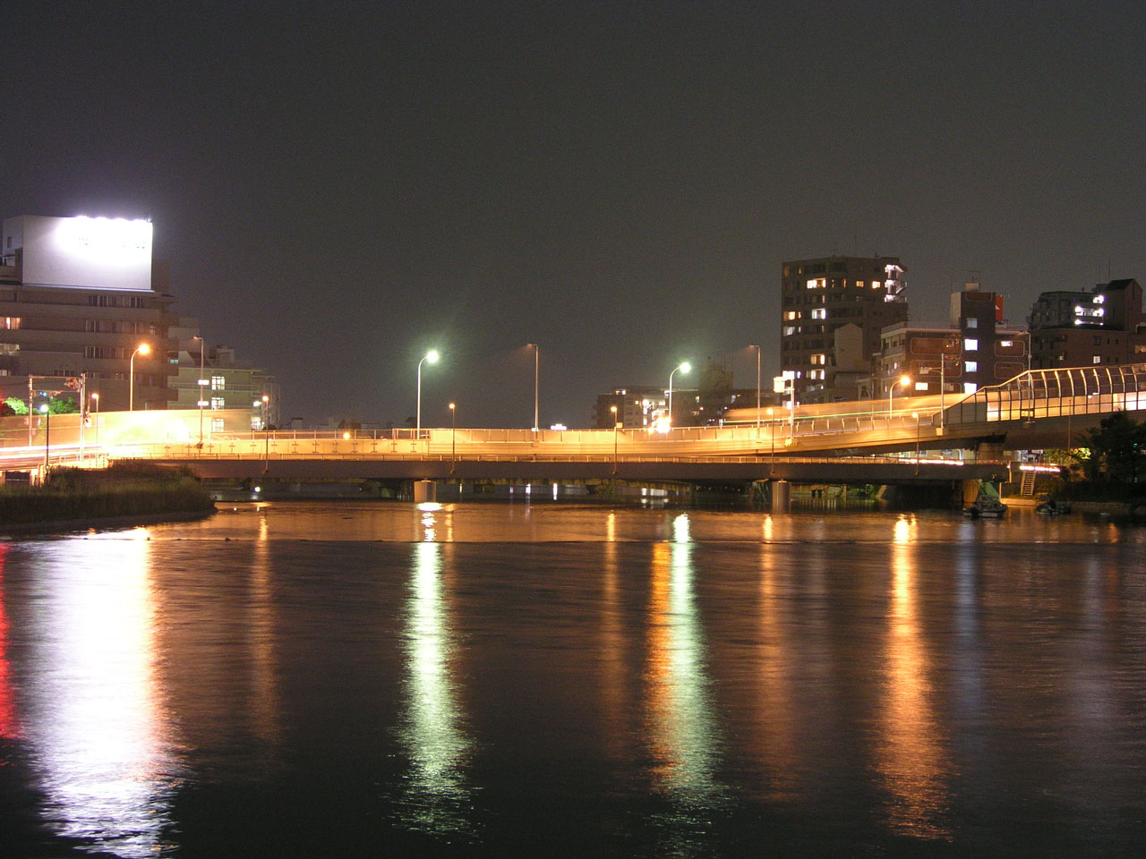

The width of the river becomes half at the ebb tide, and the river bed appears beneath Kan'on-bashi bridge. There were a few persons who were picking shellfishes on the bed just before taking the photos. 
A promenade is under construction on the left bank; the water is approaching to the promenade at the flood tide. 
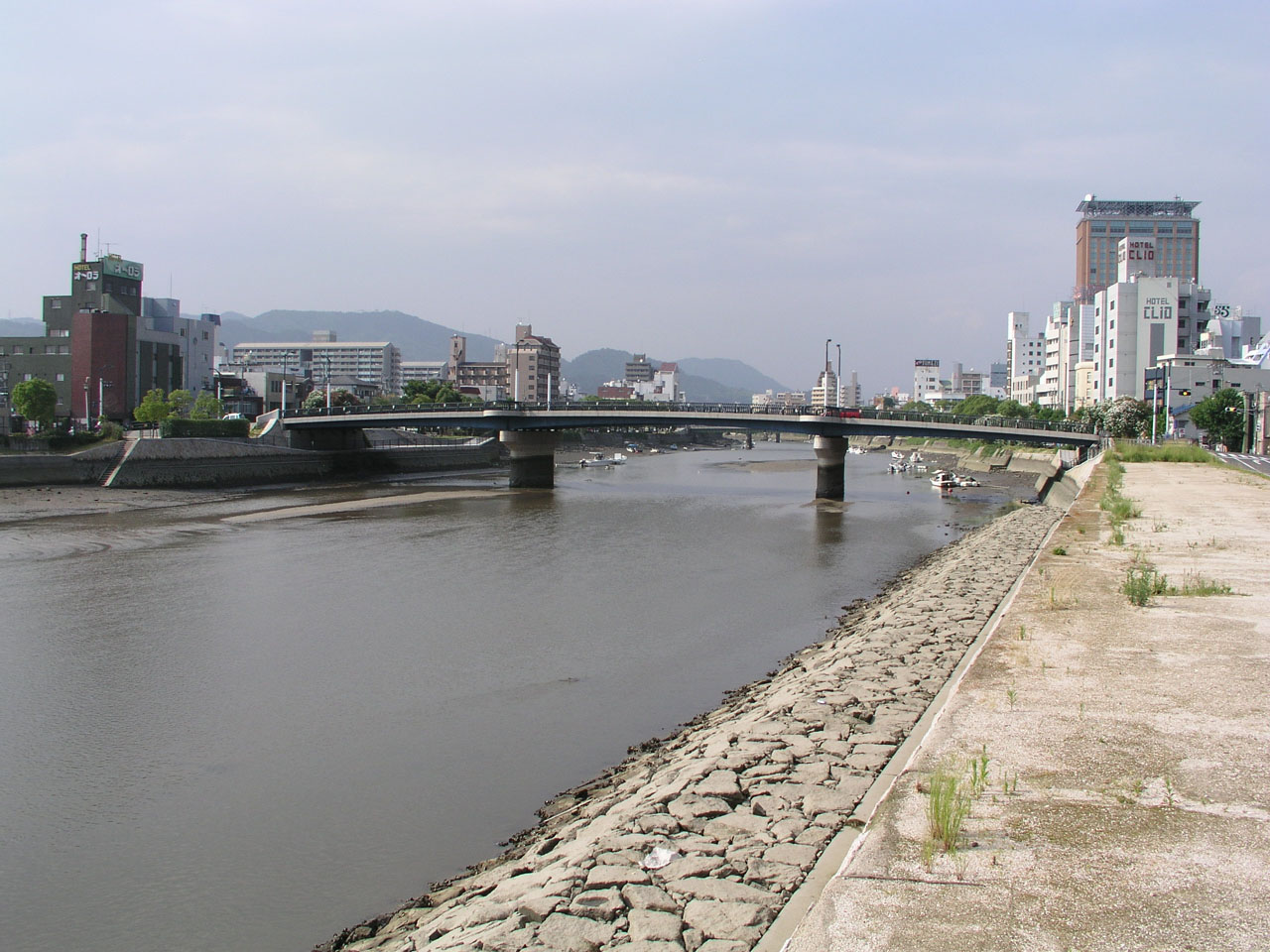
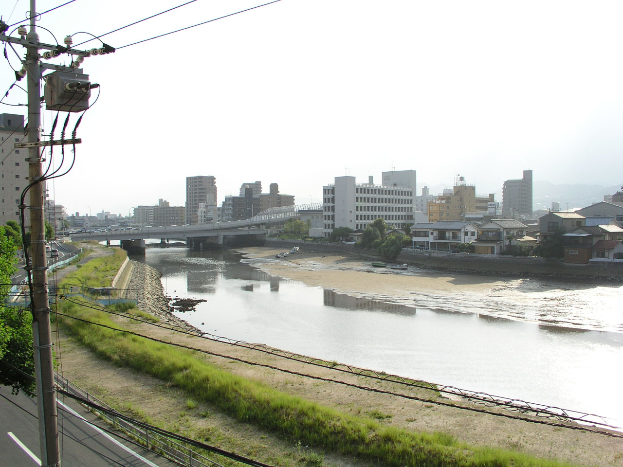
Mifune-bashi bridge above the same point. The bed also appears at the ebb tide. 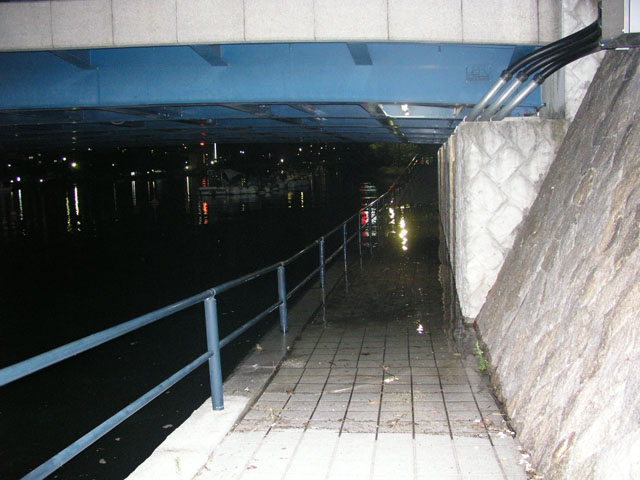
The promenade passes under Mifune-bashi bridge; this is covered with water when the tide is the highest. The bank in the above photos was elevated during the winter 2004 - 2005, and a promenade was constructed. Please refer the "Spring has come" page. Motoyasugawa river, Atomic Bomb Dome and floating lantern ceremony on A-bomb memorial day
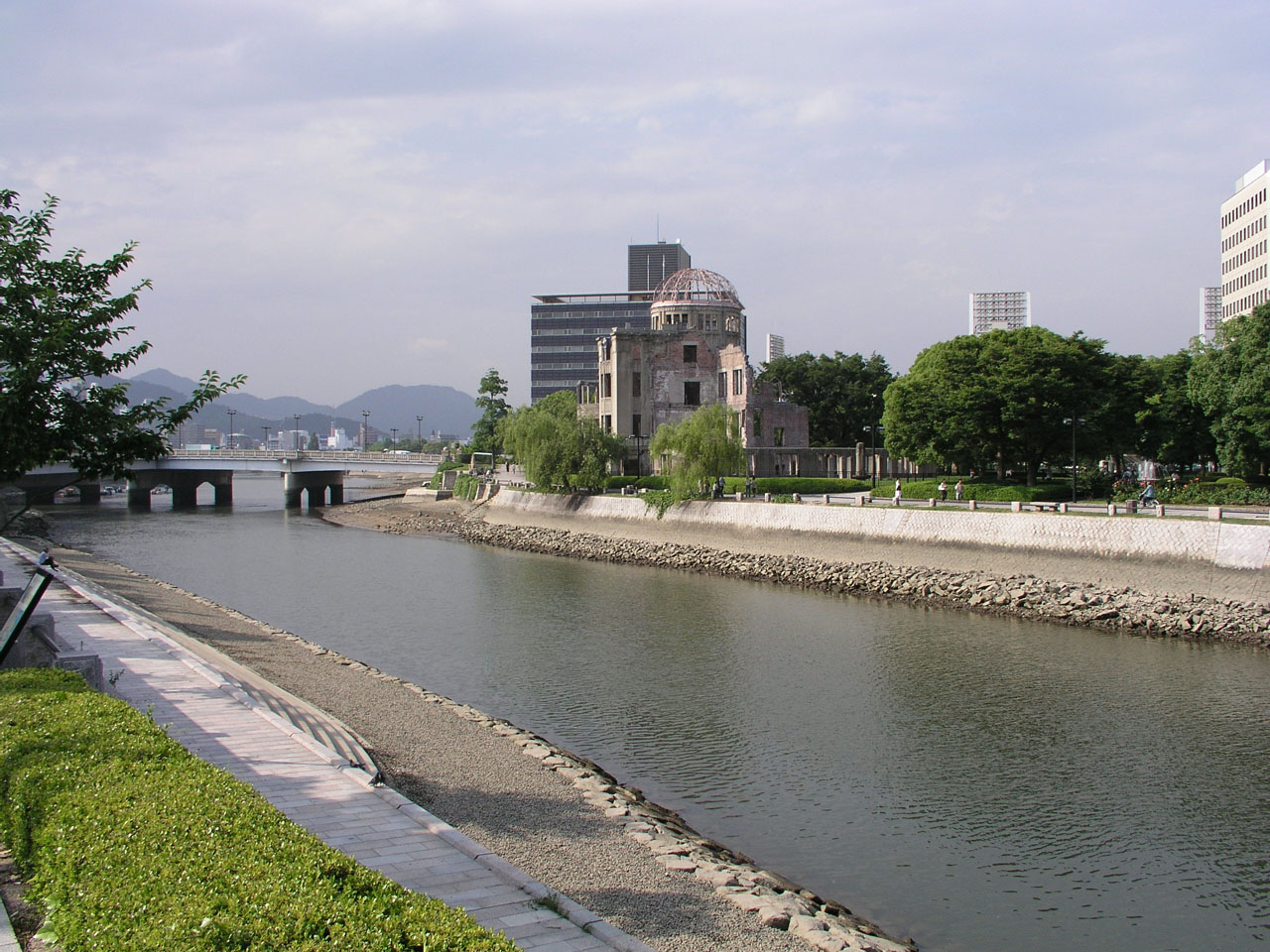
The atomic bomb dome photographed from the lower side of the Motoyasu-gawa river, at 5.8 km from the river mouth. The illumination of Hiroshima baseball stadium appears behind the atomic bomb dome. 

The atomic bomb dome photographed from Aioi-bashi bridge at the upstream. The stairway from the bank to the river is called gangi, which used to be equipped for boarding a boat. There are a lot of gangis along the river in Hiroshima, and a reutilization program of water traffic and gangis is in progress. 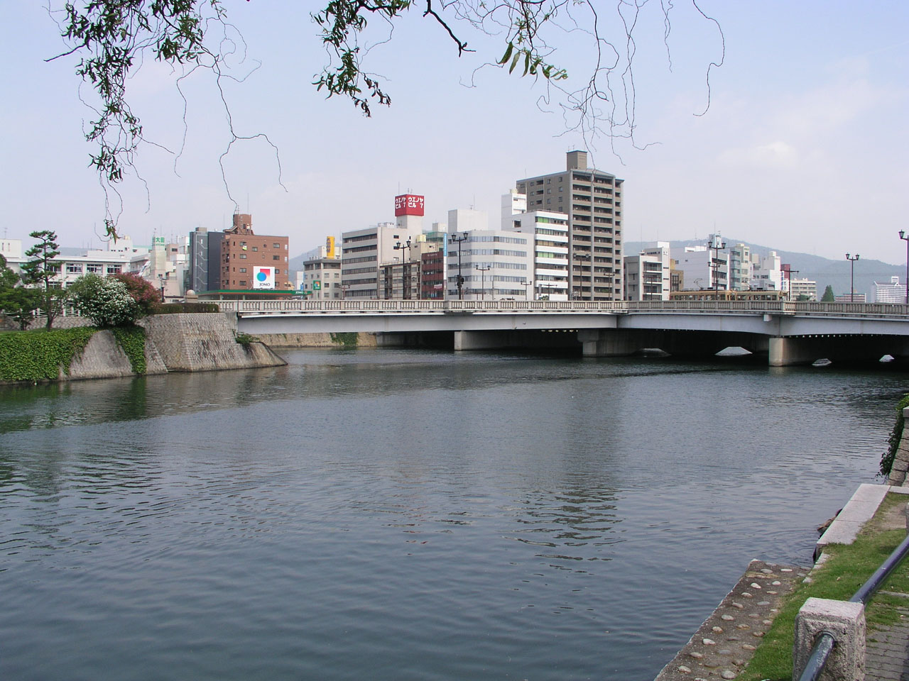
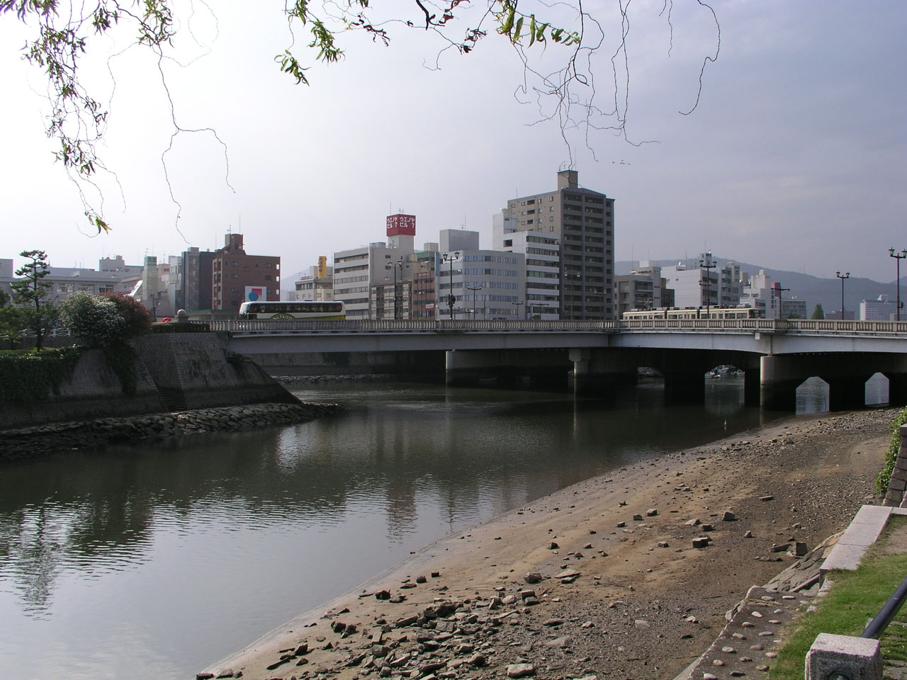
Aioi-bashi bridge photographed from the front of the atomic bomb dome. Aioi-bashi bridge is a rare T-shape bridge. In the photo at the ebb tide, the part with a tramcar is the horizontal bar of T from east to west, and that with a sightseeing bus is the vertical bar of T from north to south. It is said that the T-shape bridge was the target of the atomic bombing. (The current bridge was reconstructed in 1983.) 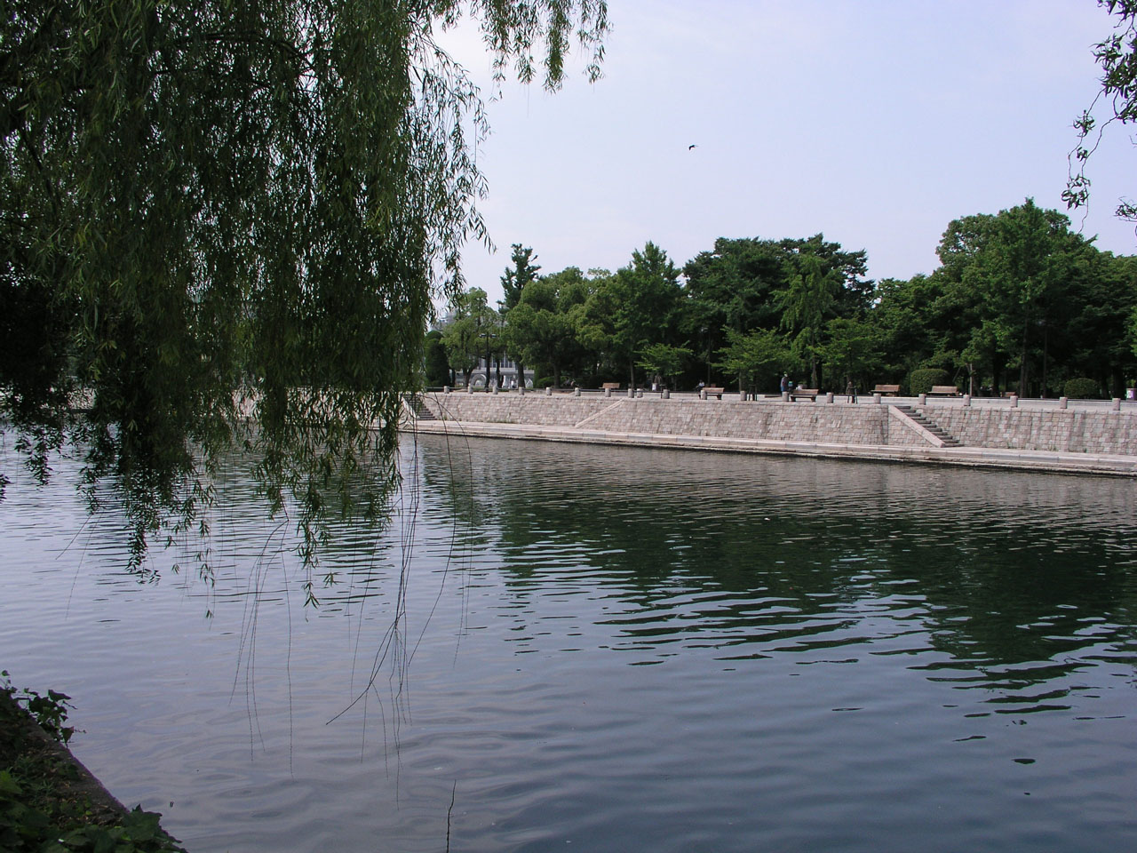
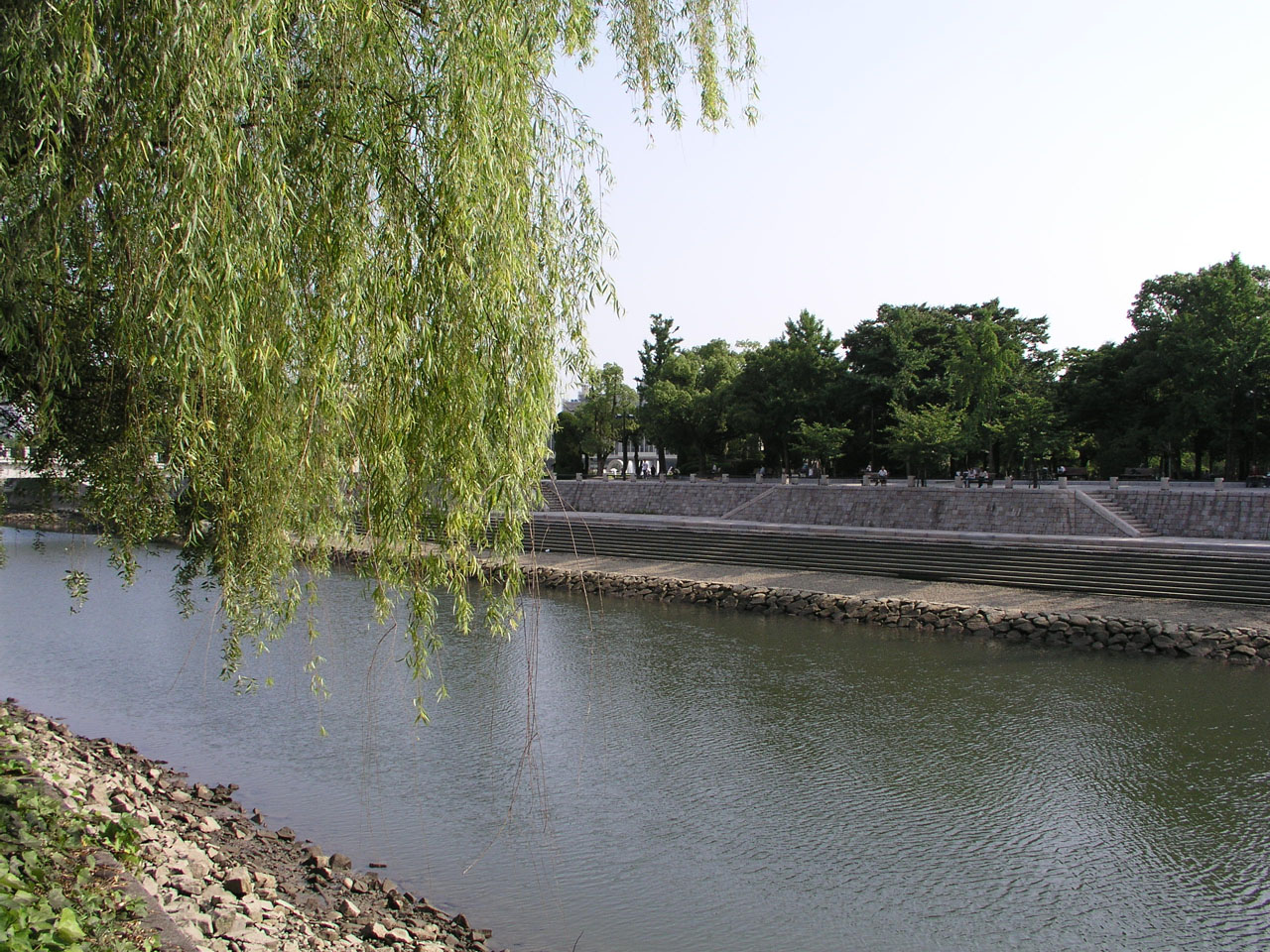
The peace memorial park, a little south from the above photo (the left side of the above photo). The gangi on this photo is the biggest one in Hiroshima. 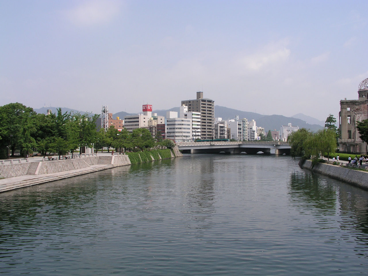
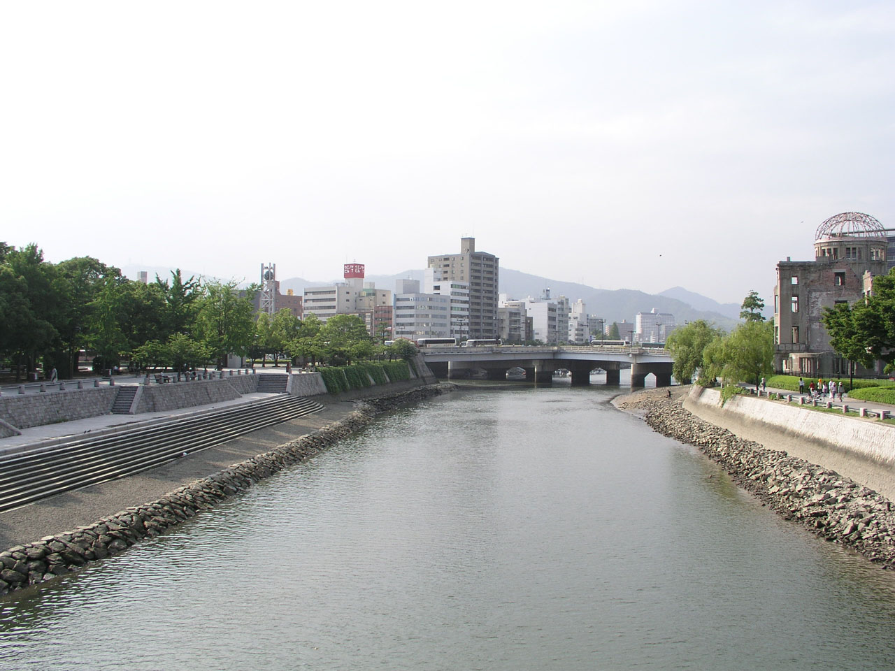
The atomic bomb dome, Aioi-bashi bridge, and the big gangi photographed from Motoyasu-bashi bridge at the downstream. 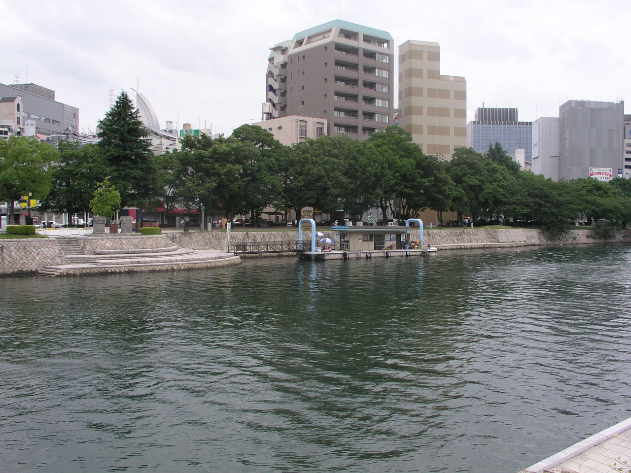
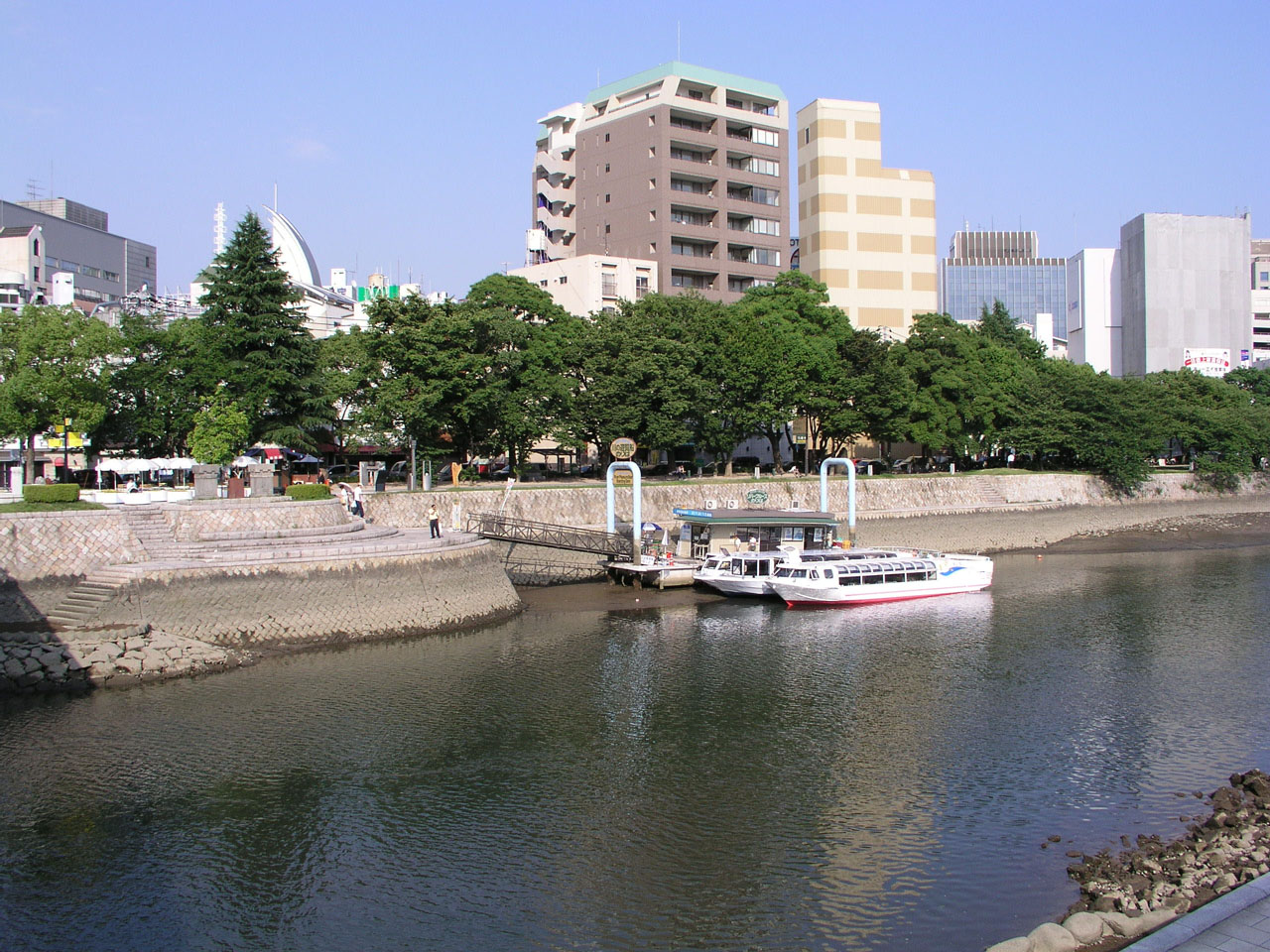
The platform for sightseeing boats. The floating platform touches the bed when the water level is the lowest. 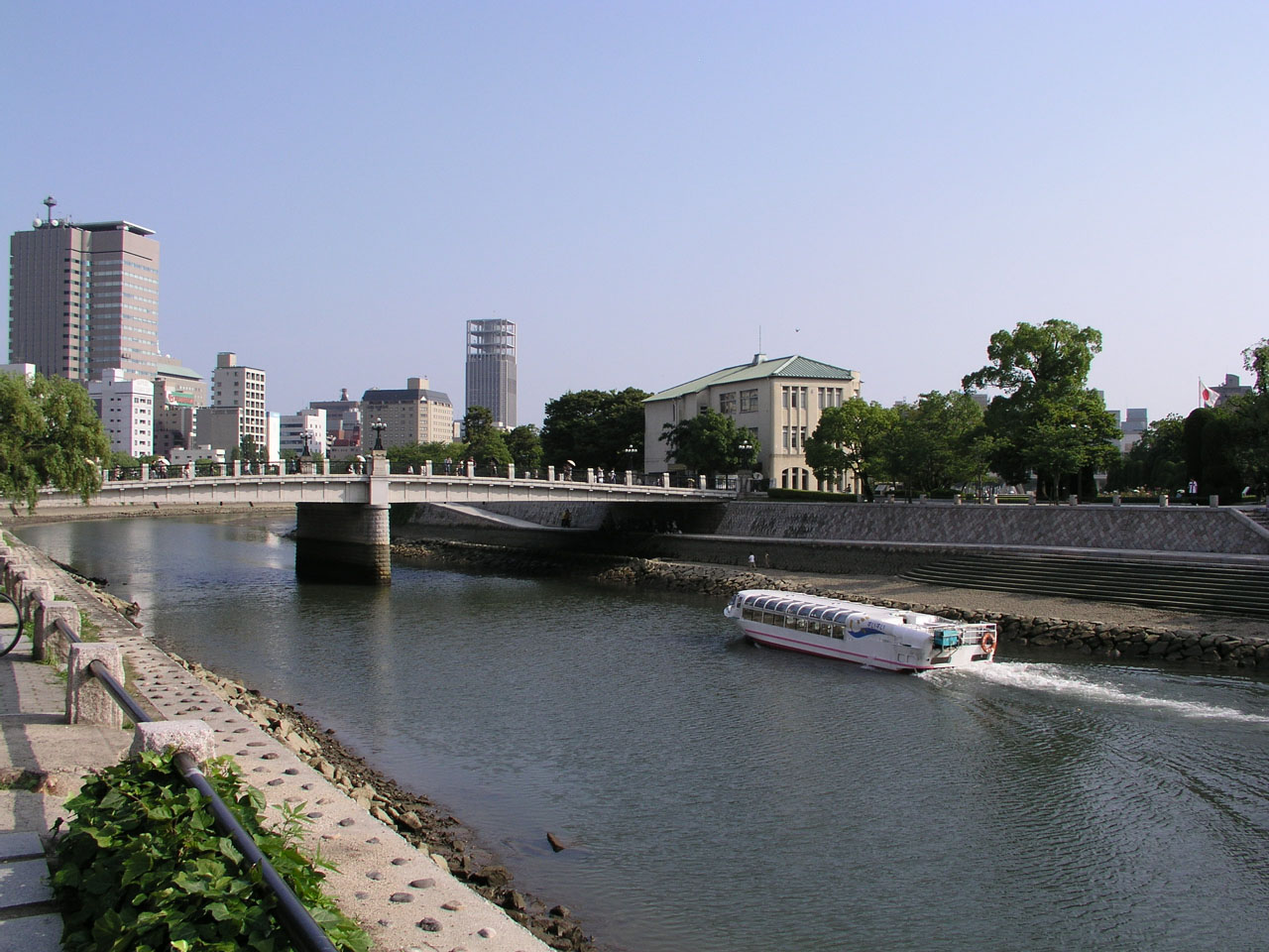
The sightseeing boat is specially equipped for cruising at the ebb tide. 
A woman who was letting her dog swim was found at the flood tide. 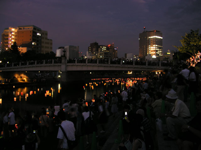

The floating lantern ceremony is held around Motoyasu-bashi bridge on the A-bomb memorial day, August 6. The lanterns symbolize the spirits of atomic bombing victims who asked for water and died in the river, and are floated with messages of wishing peace. Some of the floated lanterns are brought back by the flood tide as if the sprits returned. Water birds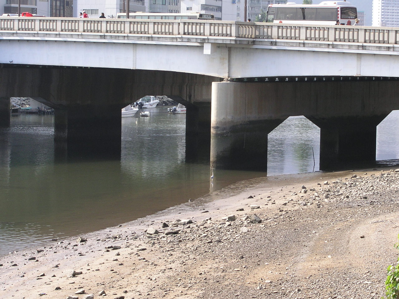
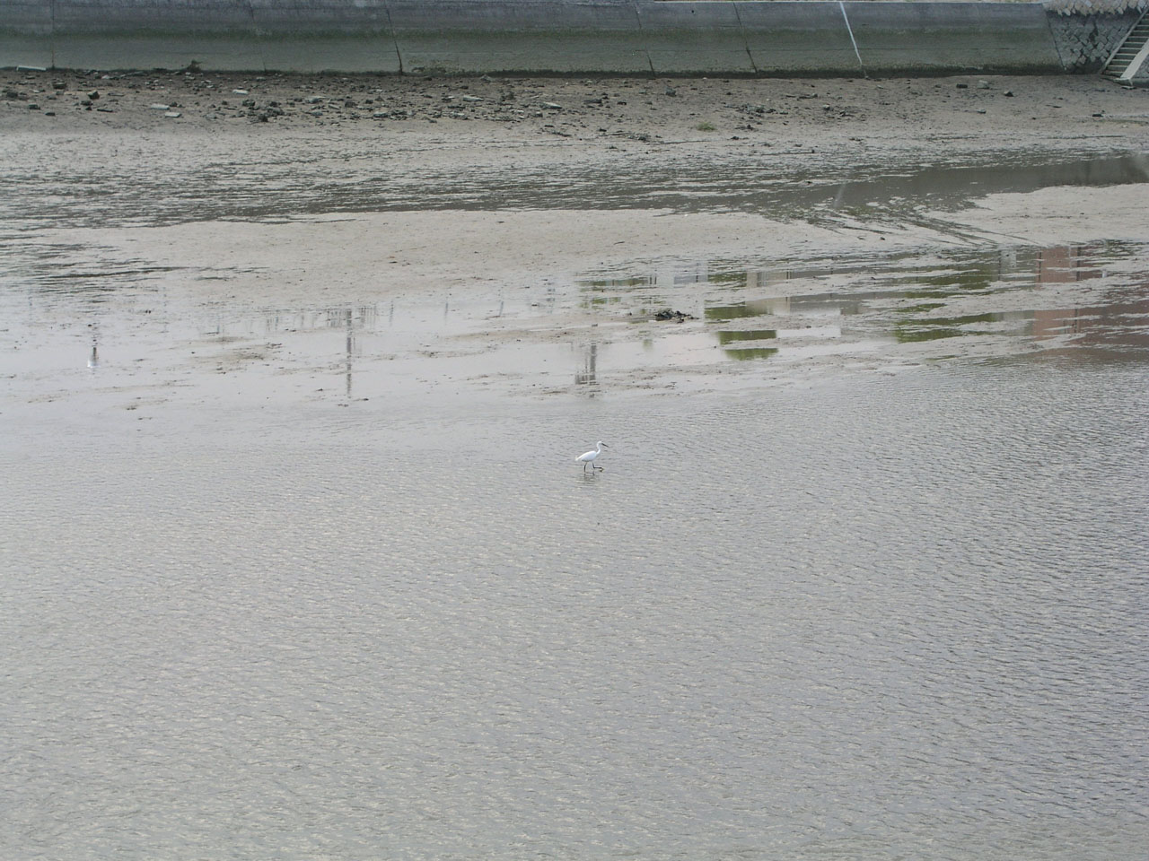
Water birds are coming at the ebb tide. The left was photographed under Aioi-bashi bridge, and the right at Temmagawa river. |
|
|
|